An interactive map of Cyprus through time, linking 16 historical eras with 131 places and 1,145 archaeological finds. Explore the island, its changing political setting and everyday life, then follow the sources behind the story.
Live
The idea
Explore Cyprus through time, connecting places and archaeological finds with the historical eras they belong to.
What you can explore
The atlas brings together 16 historical eras, 131 places and 1,145 archaeological finds. Follow the island’s changing political setting and everyday life, then explore the sources behind the story.
Inside the atlas
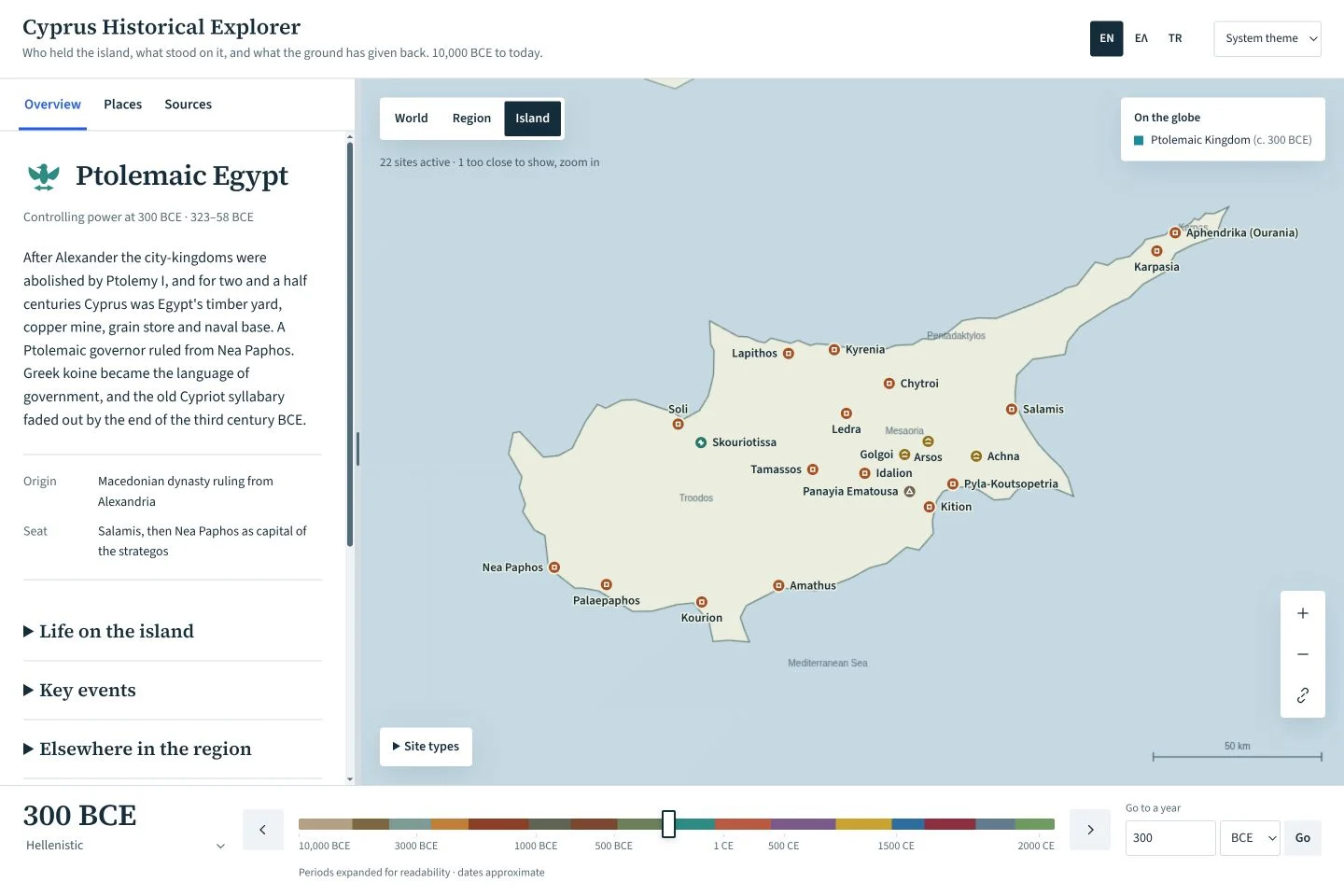
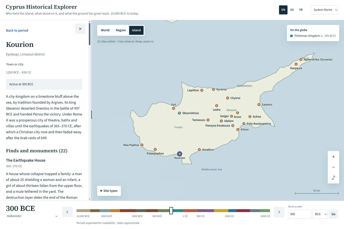
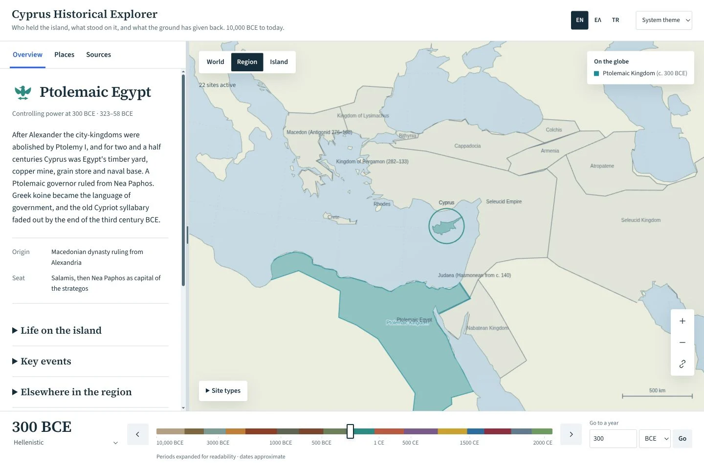
The island view connects historical places with the selected period. Here, the timeline is set to 300 BCE.Opening a place reveals its history, finds and monuments. This is the record for Kourion.The regional view places Cyprus in the wider political landscape of the eastern Mediterranean.